The construction of geological models
Available on our YouTube channel
In this lecture, Jean-Philippe Paiement showed how the attribution of probabilistic lithologies to a SKUA-GOCAD implicit model geologic grid provides the optimal modelling output. This grid allows the user to infer unknown quantities, adapt the geological volume outputs, make predictions, and learn from the data. Each model cell can provide detailed stratigraphic, probabilistic lithology estimation (e.g., 90% probability of being a granite, 10% of being a sandstone) and rock property or analytical data estimation (e.g., lithogeochemistry). This provides critical uncertainty estimation for drillhole targeting, resource assessment, and other model outcomes. The combination of advanced nonlinear geostatistics and stratigraphically, faulted accurate models makes for a powerful interpretation tool for geologists.
Notes about the software:
SKUA-GOCAD implicit modelling is a powerful solution for 3D interpolation, analysis, modelling, and data management and interpretation. It allows you to faithfully represent uncertainty in your model structure, parameters, and noise in your data. It is perfect for the modelling of complex fault networks and stratigraphic horizons (with or without drillhole data). Implicit models allow you to look at or classify lithologies, interactively select and interpret the correct data, understand the various relationships, assign, and iteratively reassign “properties” within the interactive modelling environment.

Jean-Philippe is our Director of Global Consulting. He brings 10 years of mineral exploration experience including expertise in geostatistics, structural, geological, and geochemical modelling and interpretation. He is skilled in the application of machine learning to overcome geological challenges and with new methods to reduce interpretational risks with geological data. He has a wide range of experience in mineral resource estimation for precious metals, base metals and industrial minerals across diverse geological environments around the world. He obtained an MSc from Laval University. Jean-Philippe is based in Quebec-City.
Latest events and news

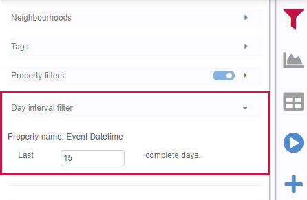
Tagging query results


Depth-to-basement inversion using geometry and homogeneous VPmg inversion

Importing and preparing DC/IP data for inversion with Geoscience ANALYST – Virtual Lecture

Using Python in Geoscience ANALYST Pro – Virtual Lecture

GEOH5: A Framework for Geoscience Data and Model Portability

GEOH5 open format

Coordinate display area
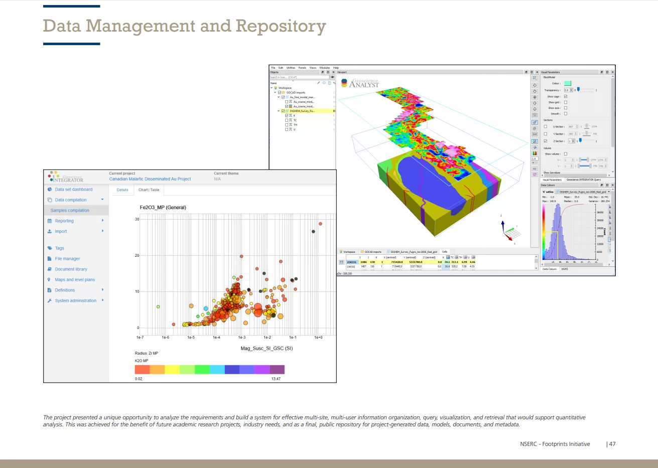
Footprints project public data repository available soon

Georeference images

Roles and permissions