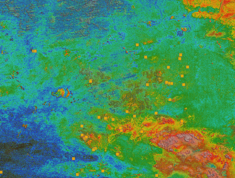
Oftentimes when working with regional magnetic surveys from multiple sources, we encounter resolution continuity issues, which makes 2D interpretation more challenging. The loss in resolution of anomalies borders and lack of texture in the gridded data, can cause issues to the interpreter. This talk sets the basis of using currently available deep learning architecture to train a model for special resolution enhancement.
Recent advancement in image processing and deep learning have led to the development of neural networks capable of increasing images resolution using and adversarial learning strategy (Wang, X et al., 2018). In this deep learning model, available high-resolution grids with their low-resolution counter parts are used to train an encoder-decoder network to reconstruct the high-resolution from their starting point. Once the network is sufficiently trained it is then possible to apply it to upscale low-resolution images without existing ground truth high resolution counter part. This approach uses Generative Adversarial Networks or GAN’s, a relatively new class of machine learning frameworks designed in 2014 (Goodfellow, I. et al). A generator network is used to construct images that are then passed through a discriminator network which tries to discriminate between real images and fake images produced by the generator. Given a training set, this technique learns to generate higher resolution data with the same statistics as the training set.
Once the general model is trained on high-resolution/low-resolution pairs, it is possible to refine it to the area of interest and use it to upscale low resolution survey patches. This will help in refining anomaly edges and increase the accuracy of the structural interpretation conducted by the geologist. This approach is proposed as an alternative to the commonly used downward continuation filters used in the industry.

Jean-Philippe Paiement is our Director of Global Consulting. He brings 15 years of mineral exploration experience including expertise in geostatistics applied to structural, geological, and geochemical modelling and interpretation; specializing in non-linear interpolation and simulation. Jean-Philippe has developed multiple workflow and novel approaches to reduce interpretational risks of geological data. He has a wide range of experience in mineral resource estimation for precious metals, base metals and industrial minerals across diverse geological environments around the world. In 2016, he pioneered the application of Machine Learning to the mineral exploration industry in winning the Integra GoldRush challenge by application of machine learning to mineral deposit targeting. He is skilled in the application of machine learning to overcome geological and geophysical challenges; by combining geological knowledge and both supervised learning and deep learning. Before joining Mira Geoscience, he obtained an MSc from Laval University. Jean-Philippe is based in Quebec-City.
Latest news

Importing objects from project

Footprints project public data repository available soon

Easily display a property on multiple objects

Mira Geoscience receives the 2023 AME Innovation Award

Extending workflows with rapid model generation – Virtual Lecture

Québec Mining 2023

BHP Bowen Basin, Australia

Using predictive modelling in mineral exploration

Building a greenfields project from public data in Geoscience ANALYST Pro – Virtual Lecture

Free mineral exploration data through Geoscience ANALYST

R&D projects in data management


