


We offer solutions to address the need to include complex fault networks, vertical repeats, overturned folding, and additional 3D geometries into structural models. Our team has expertise in all aspects of resource modelling, including burden characterization, which is crucial to improve mine design and support blasting decisions; all of which leads to substantial operational cost savings and increased profitability. With years of experience carrying out complex geological modelling projects, we are specialists in providing our clients with innovative interpretation and modelling results. We have called upon that experience and expertise to develop proofs of concept, as well as implement systems, establish workflows, and set up tools specific to the coal industry.
Our team works across the complete spectrum of geophysical techniques. We provide analytical and interpretational value in ore body detectability analysis, survey design, geologically-constrained inversion, 3D geological modelling, integrated interpretation, drillhole targeting, contract geophysical research, and geophysical software development.
Stratigraphic interpretation and modelling
We provide the knowledge and tools for the construction of 3D models and interpretation of complete geological frameworks, supported and cross-validated by multiple data sets.
Related products
”Through levelling and analysis of commonly collected wireline parameters, our team has been able to characterize rock types and interpolate rock properties into the 3D structural framework using industry-standard geostatistical tools.
Related resources

Improved data analysis
Analyze your data with enhanced histogram display options available in GOCAD Mining Suite v19...

Mira Geoscience Partners with Tessael to Advance Geological Modelling in Geoscience ANALYST
Capture geological observations quickly, safely, and accurately, both in the field and office with HiveMap...

Transfer data between objects
In Geoscience ANALYST Pro you can Transfer data between objects...

Operations on multiple files
In Geoscience INTEGRATOR, you can carry out various operations on multiple files simultaneously...

15 tips in 15 minutes
15 Geoscience ANALYST tips on advanced visualization and knowledge sharing...

Documents linked to a project
When documents are linked to a project in Geoscience INTEGRATOR, it is possible to be more specific and link them to the project’s data sets...

EM101: Tips and tricks for EM data in Geoscience ANALYST
In 20 minutes, James Reid show's you EM101 using Geoscience ANALYST Pro, a low-cost...

Georeference images
In Geoscience ANALYST Pro you can georeference your geology maps and cross sections with...
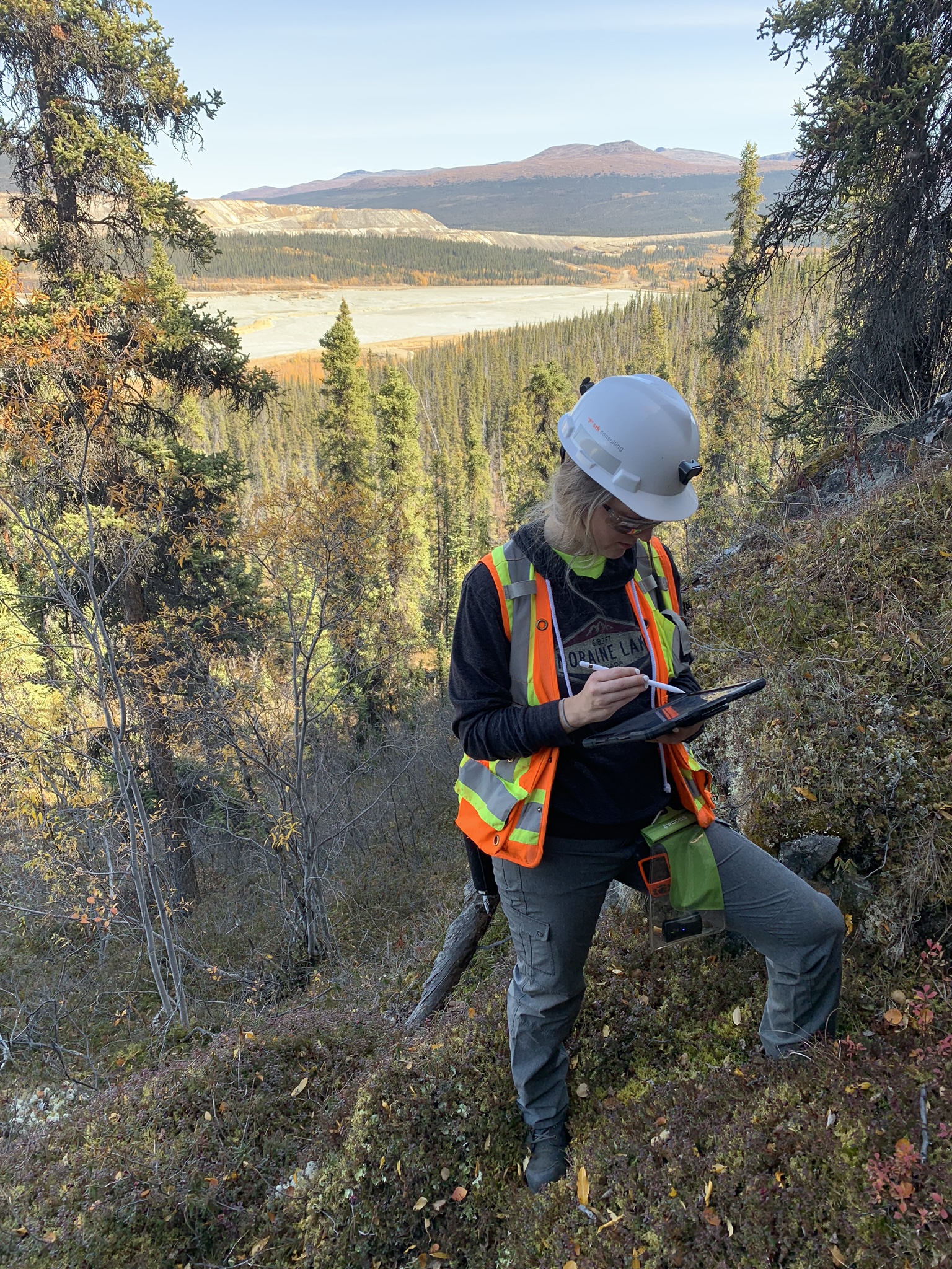
Why Is Mapping Important?
Capture geological observations quickly, safely, and accurately, both in the field and office with HiveMap...

A single platform for unifying data
We use the best technology to offer the repeatability and speed advantages of implicit modelling, resulting in a modelling environment that allows any fault complexity and representation. Our solution provides the simplicity of 2D grid modelling with the geological complexity of 3D volumetric surface modelling. It also facilitates rapid updates of models with newly acquired data.
Extracting additional value from data with machine learning
Applying machine learning to large volumes of wireline data, Mira Geoscience has developed a method for semi-automatic lithofacies classification. Using a data-driven approach, standardized geological logs can be extracted directly from borehole geophysical logs. Through levelling and analysis of commonly collected wireline parameters, our team has been able to characterize rock types and interpolate rock properties into the 3D structural framework using industry-standard geostatistical tools.


Data sets we work with
Mira Geoscience ensures fast, intuitive, and accurate 3D earth models, regardless of your data types. We work with geological, geophysical, geochemical, and geotechnical data from different mining industry formats: ArcGIS, MapInfo, AutoCAD, GOCAD/SKUA, Gemcom, Surpac, CAE Studio, Vulcan, Geosoft, Leapfrog, ER Mapper, ioGAS, UBC-GIF, VPmg, Profile Analyst, Maxwell, and others.
Our team of experts
Our specialized stratigraphic modelling services rely on the experience of a seasoned team. Our geologists and geophysicists work closely with you to build an integrated 3D stratigraphic model that captures the criteria that are relevant. Our straightforward process facilitates the definition of exploration objectives, target criteria, and modelling actions. Our team has the experience to work with you to translate conceptual exploration models into data requirements and modelling actions across the spectrum of mineral commodities and deposit types. We provide guidance and services from model construction to the deployment of 3D expert-system targeting workflows.