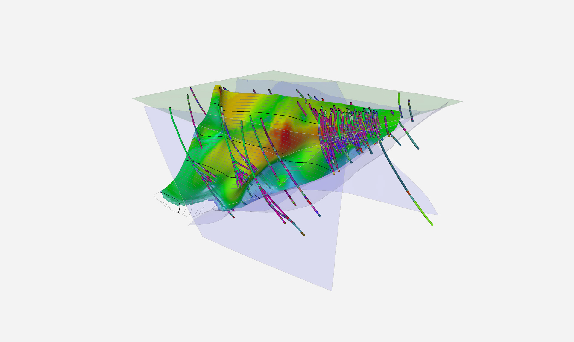
Geological interpretation and 3D modelling

We provide the knowledge and tools for the construction of 3D models and interpretation of complete geological frameworks supported and cross-validated by multiple data sets.

Major discoveries are declining and increasingly difficult to find, with greater focus on exploration at depth or under cover. Decisions must focus on decreasing risk through sound, quantitative interpretation, mitigating uncertainty in 3D geological modelling, analysis, and interpretation. Our integrated modelling approach provides answers to specific geoscientific questions supported by all available multi-disciplinary data. Independent interpretations of geological, geochemical, and geophysical data are no longer good enough in today’s challenging exploration environment. Mira Geoscience has extensive experience in working across a wide range of scales—from deposit to camp to regional.

Our team works with a broad spectrum of data types and modelling technology to generate and deliver meaningful, client-driven models for decision making in exploration targeting and geotechnical hazard assessment. We have deep expertise in managing complex modelling projects: from setting concrete objectives, to detailed modelling workflows, to products focused on supporting business decisions. Our experts work with clients around the world, from juniors to majors, and across all commodity types to provide valuable insight and interpretation, and easy communication of ideas and results.

Related products

Our team understands and can recognize key ore system exploration criteria in your data through fully integrated geological modelling. An essential step as major discoveries are declining and increasingly difficult to find.

Related resources

Case studies
September, 01 2019

Machine learning in mineral exploration

We have applied machine learning as part of custom solutions to complex exploration and geotechnical problems since 2015...
Read more
Case studies
March, 29 2015

Using predictive modelling in mineral exploration

We carried out targeting work for IOCG-style mineralisation in the Mt Dore area of QLD, Australia. We produced a 3D model and predictive exploration map...
Read more
Geoscience ANALYST
March, 11 2021

Peak finder – Geoscience ANALYST geoapps: Python application

Past event. Link to recording available here.
Read more
April, 12 2021

Geological 3D-GIS query

In GOCAD Mining Suite, you can create points at specific geological contacts for the construction of your geological contact surface...
Read more
Geoscience INTEGRATOR
December, 07 2020

Free mineral exploration data through Geoscience ANALYST

Past event - view here or on our YouTube channel...
Read more
February, 01 2021

Show and hide

In Geoscience ANALYST you can show and hide everything, individual objects, container groups or drillhole groups...
Read more
July, 30 2022

Object’s history

In GOCAD Mining Suite, objects keep a history of all the commands you apply to them, this includes...
Read more
August, 19 2019

Cloning import templates

In Geoscience INTEGRATOR, cloning an import template provides a ready-to-edit copy without having to build a new one from scratch...
Read more
How-to videos
December, 07 2021

Importing and preparing DC/IP data for inversion with Geoscience ANALYST – Virtual Lecture

In 20 mins, Kristofer shows v3.4 new functionality for pre-processing and visualization of DC/IP 2D and 3D data - Geoscience ANALYST...
Read more
Geoscience ANALYST
February, 10 2022

Crustal scale gravity modelling and isostatic correction over central Chile

View recording - Thomas demonstrates how to apply an isostatic correction to gravity data through a case study over central Chile using...
Read more

3D modelling platform

We use the industry’s best available software technology to create geological models of any complexity. Our GOCAD/SKUA-based platform allows for easy transition between the different data commonly used by geologists and geophysicists to work together on a Common Earth Model. We have access to a broad range of implicit, explicit, and parametric modelling tools for the construction of detailed 3D structural, formational, and alteration models. We quantitatively integrate geophysical and petrophysical data into geological modelling, ensuring models that are consistent with all available data. We work with an extensive set of 3D-GIS, exploratory data analysis, and visualization tools to ensure data integrity and enhance interpretational insight.

Data sets we work with

Mira Geoscience ensures fast, intuitive, and accurate 3D earth models, regardless of your data types. We work with geological, geophysical, geochemical, and geotechnical data from different mining industry formats: ArcGIS, MapInfo, AutoCAD, GOCAD/SKUA, Gemcom, Surpac, CAE Studio, Vulcan, Geosoft, Leapfrog, ER Mapper, ioGAS, UBC-GIF, VPmg, Profile Analyst, Maxwell, and others.

Our team of experts

We work to provide answers to the most complex modelling and interpreting challenges using industry best practices. With years of experience carrying out complex projects, we are specialists in finding innovative ways to provide our clients with a clear understanding of their geological environment. We provide focused solutions for successful exploration targeting, resource modelling, and geotechnical hazard assessment. We have the expertise to increase the value and go beyond the limitations of the available data. Deploying a robust integration framework has proved repeatedly to be a cost-effective way of adding value. We will meet anywhere for project review, interpretation, or investment purposes.

Our team of experts

Please contact our team for additional information about our products and services